I did this walk in June 2024, parking the car at the end of El Toro residential complex (Bella Vista avenue) and followed the coast towards the lighthouse of Cala Figuera, although came back before reaching it as I had been already there in the former walk. The return followed more or less the same path as the outward. (Download GPX)
As I had plenty of time, I continued the route by car following the coast towards Santa Ponsa through an area that is completely occupied by chalets.
© This photo by mymallorca.blog is licensed under CC BY-NC-ND 4.0
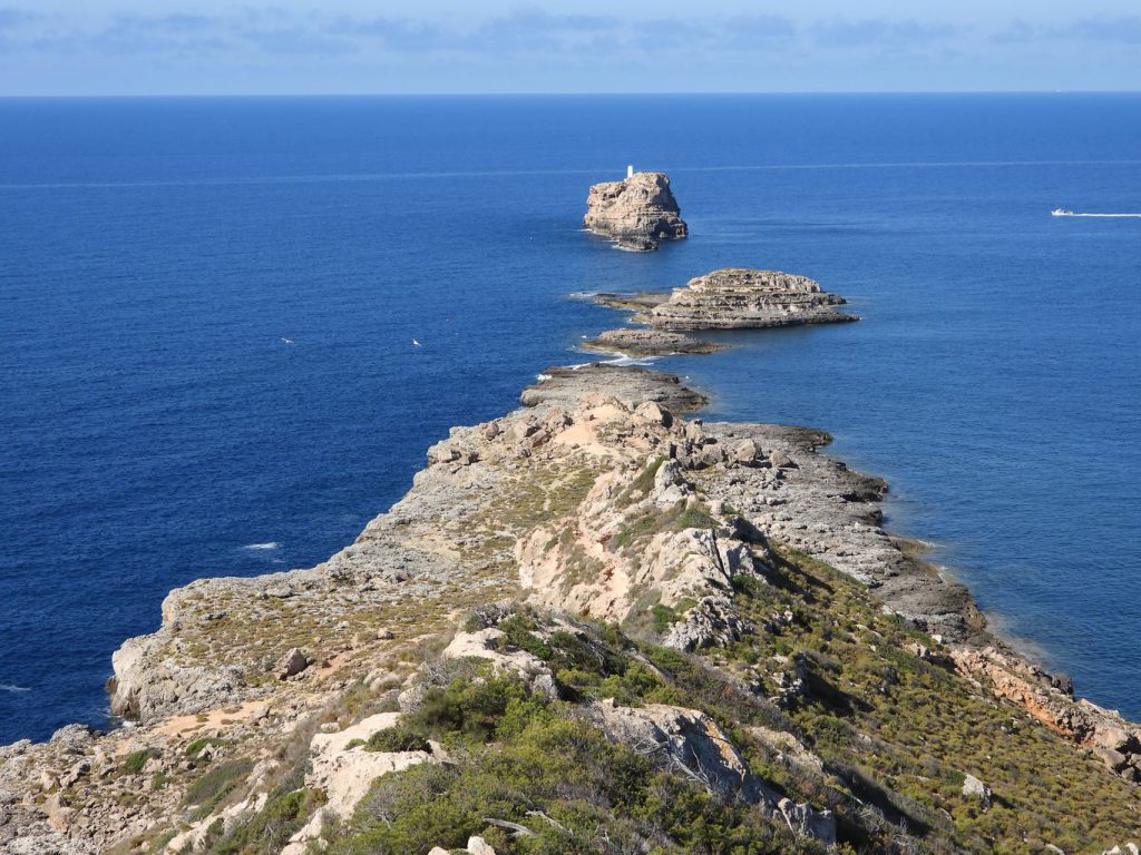
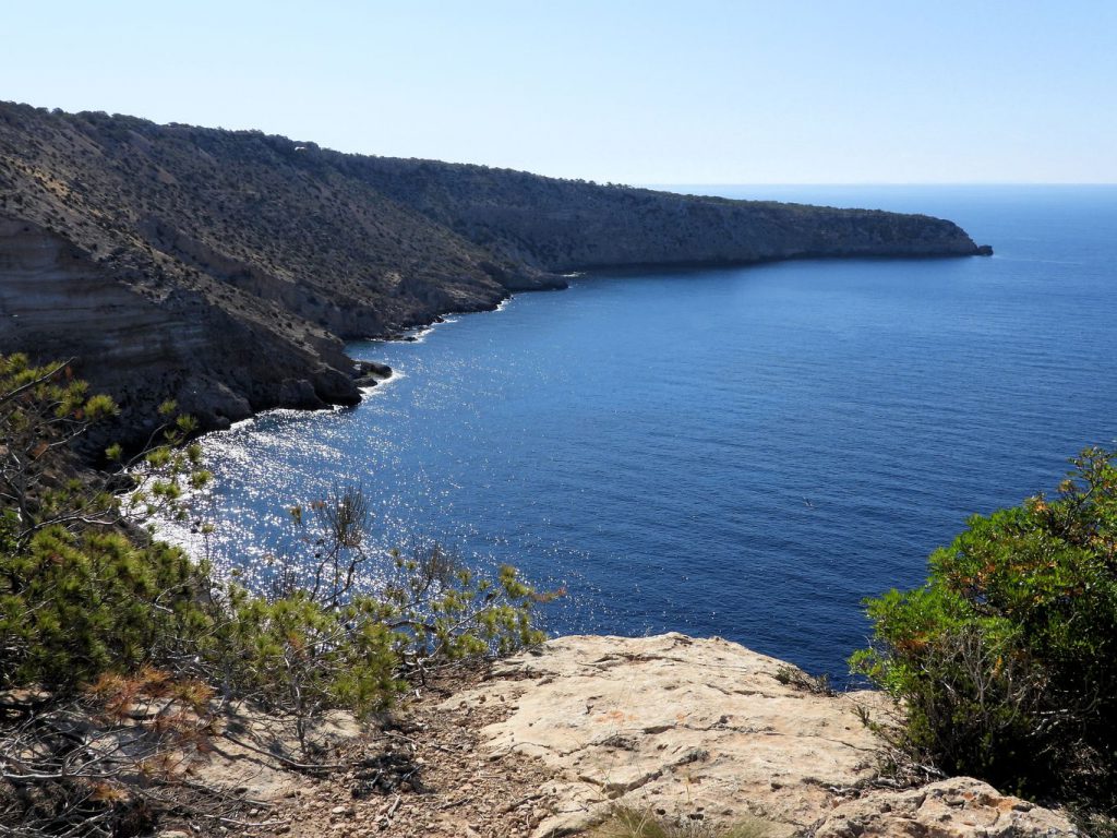
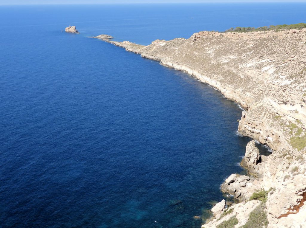
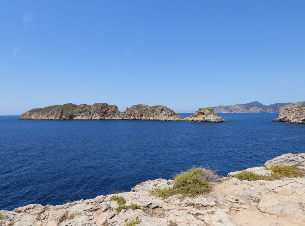
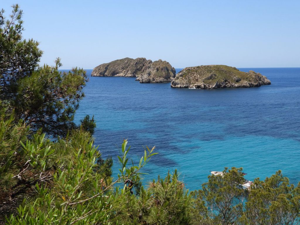
Walking towards the El Toro cape and viewpoint there are beautiful views of the Malgrats islands, to the northwest.
© This photo by mymallorca.blog is licensed under CC BY-NC-ND 4.0
© This photo by mymallorca.blog is licensed under CC BY-NC-ND 4.0
© This photo by mymallorca.blog is licensed under CC BY-NC-ND 4.0
© This photo by mymallorca.blog is licensed under CC BY-NC-ND 4.0
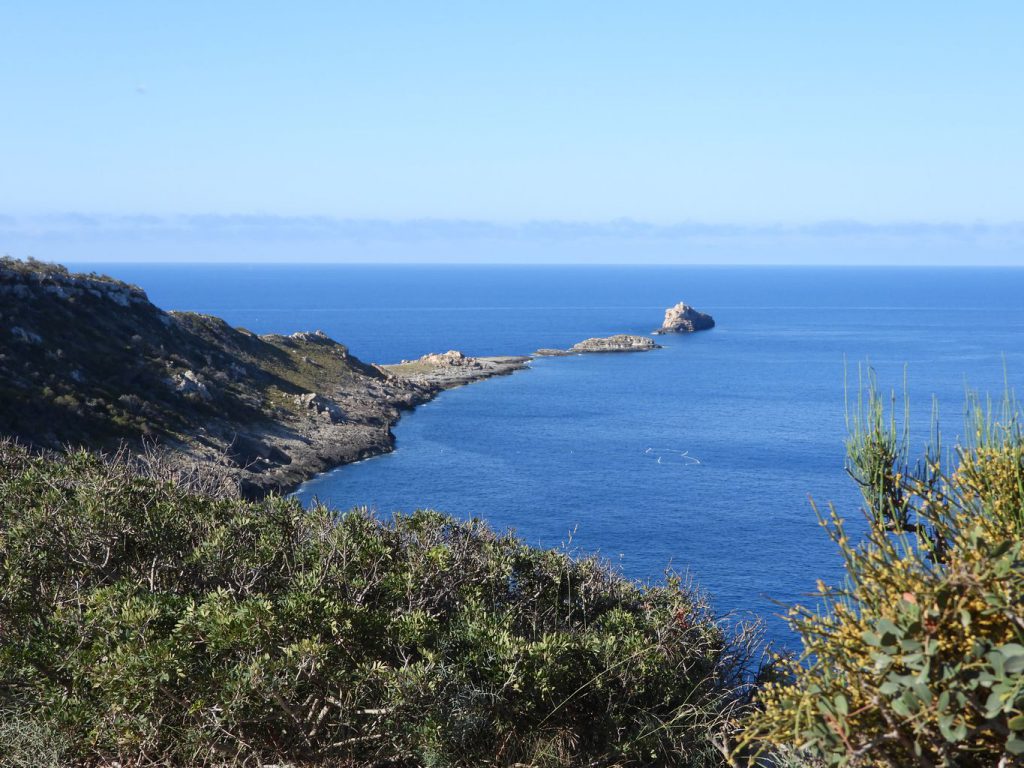
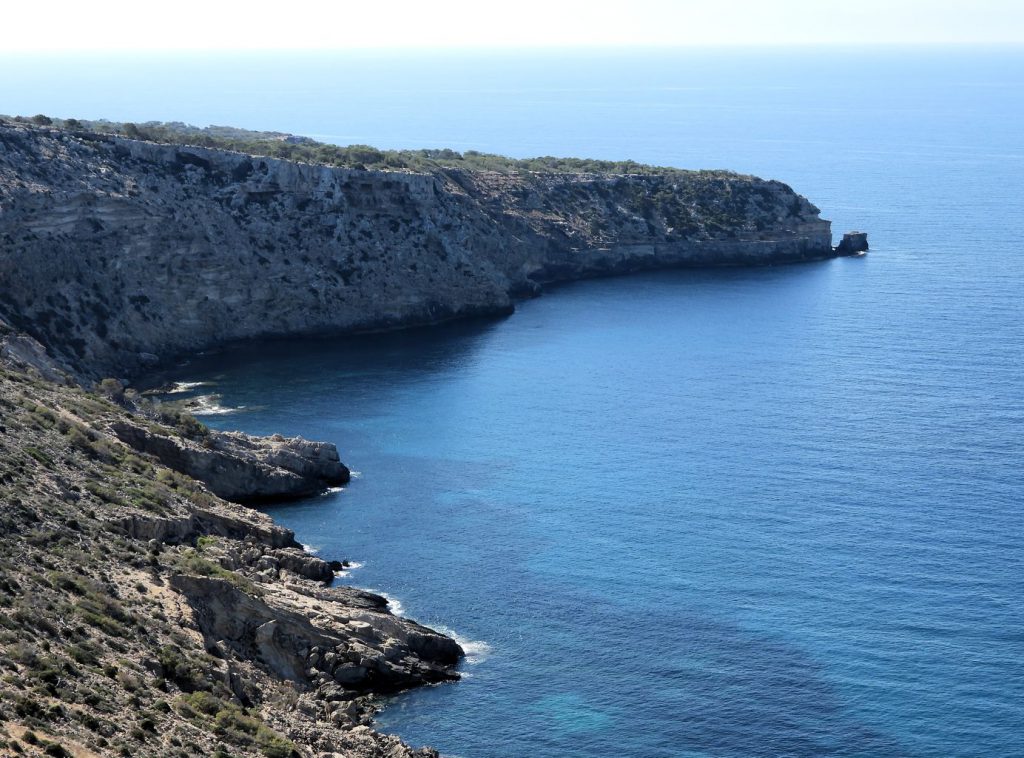
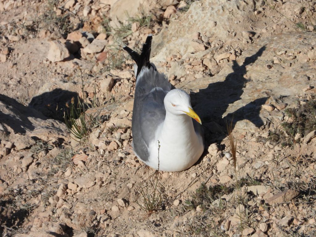
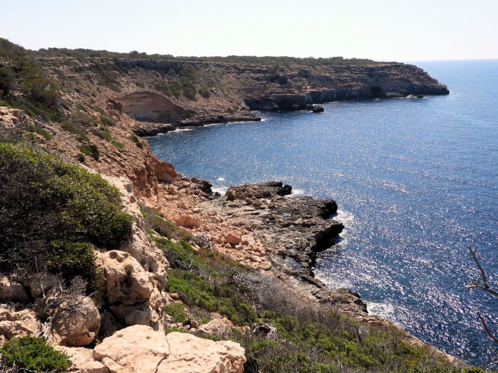
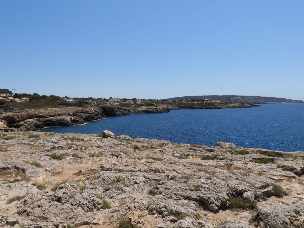
You continue along the coast towards the Morro d’en Feliu cape.
© This photo by mymallorca.blog is licensed under CC BY-NC-ND 4.0
© This photo by mymallorca.blog is licensed under CC BY-NC-ND 4.0
© This photo by mymallorca.blog is licensed under CC BY-NC-ND 4.0
© This photo by mymallorca.blog is licensed under CC BY-NC-ND 4.0
© This photo by mymallorca.blog is licensed under CC BY-NC-ND 4.0
© This photo by mymallorca.blog is licensed under CC BY-NC-ND 4.0
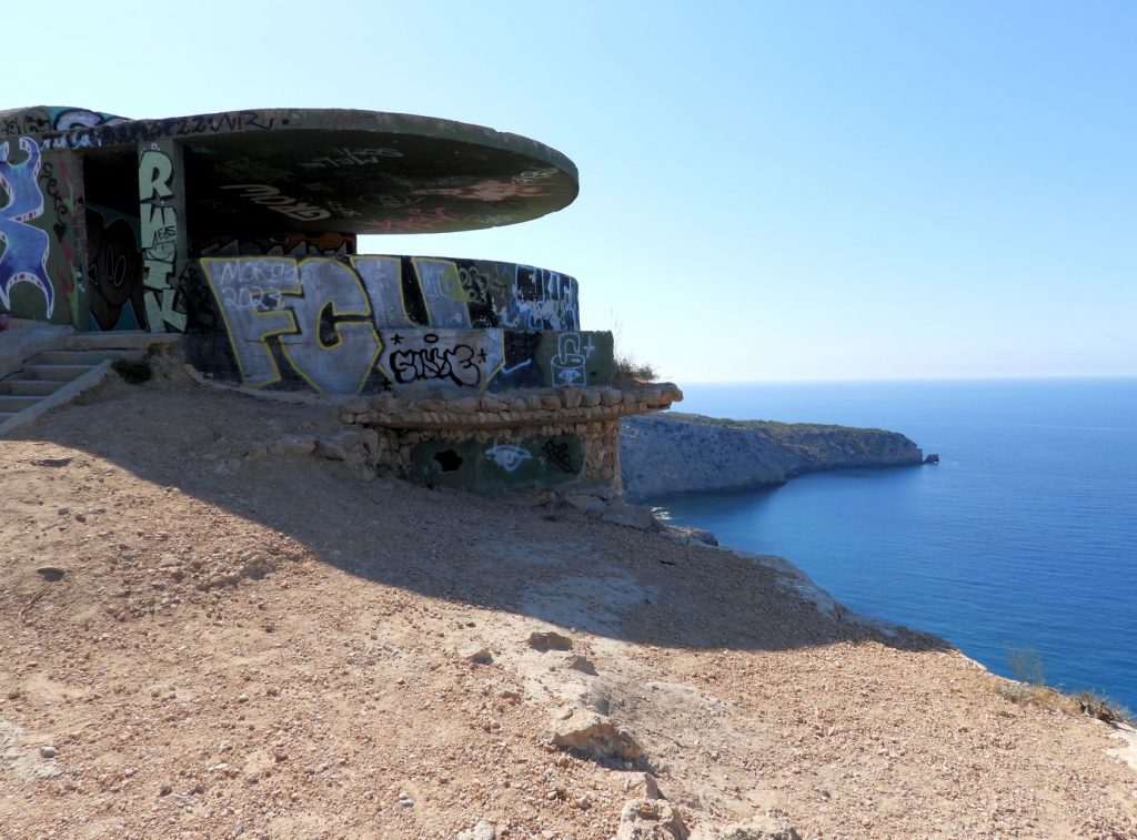
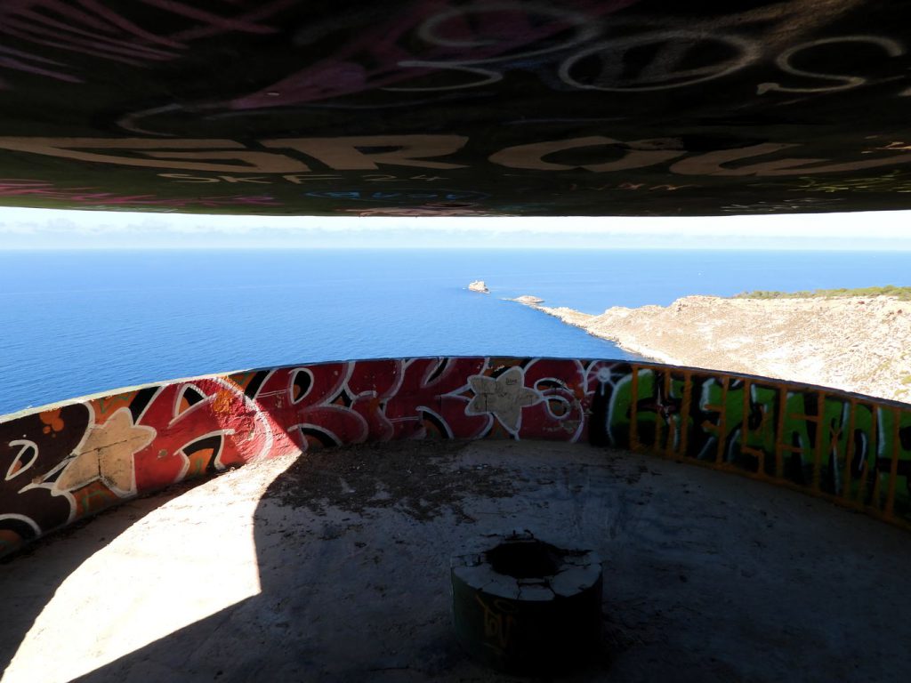
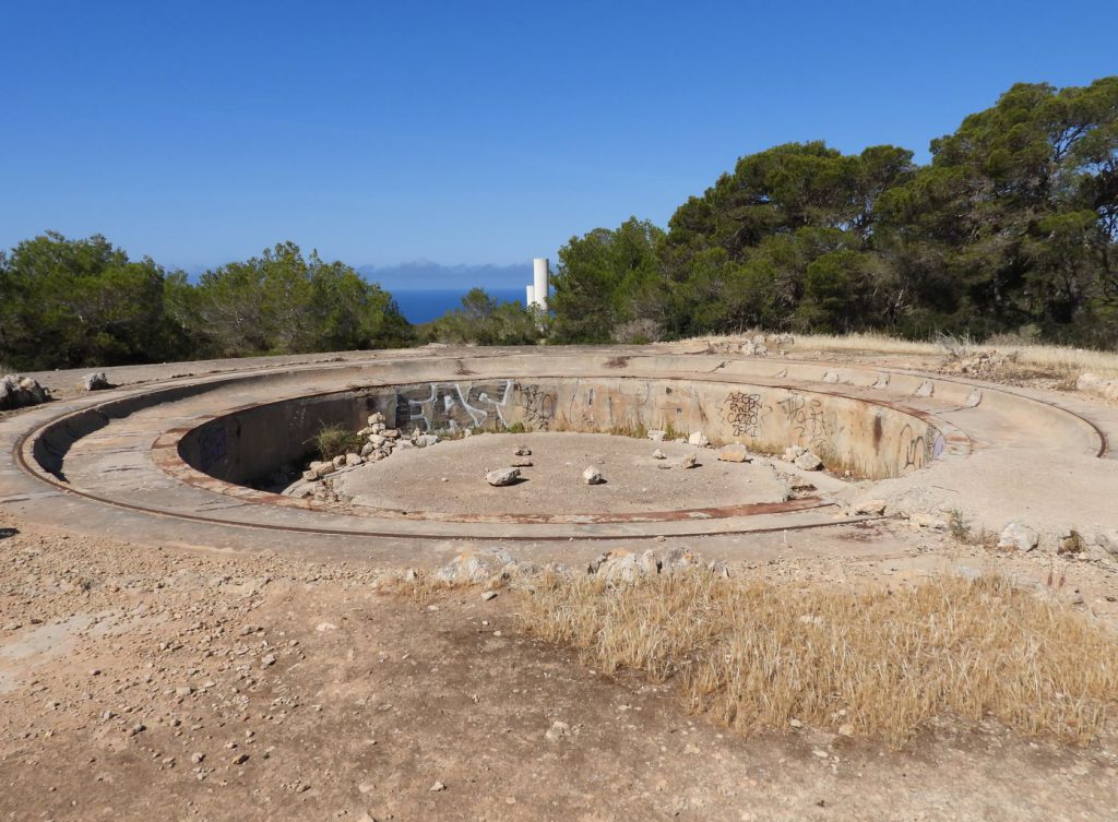
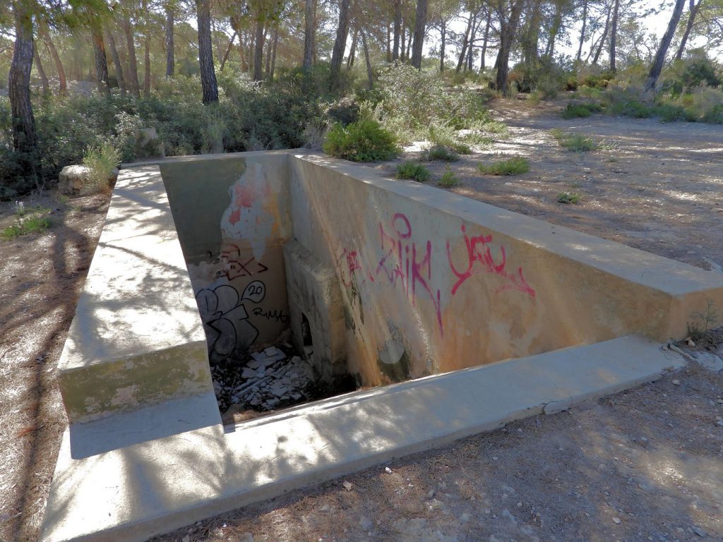
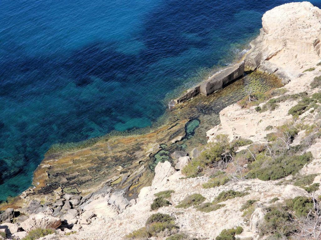
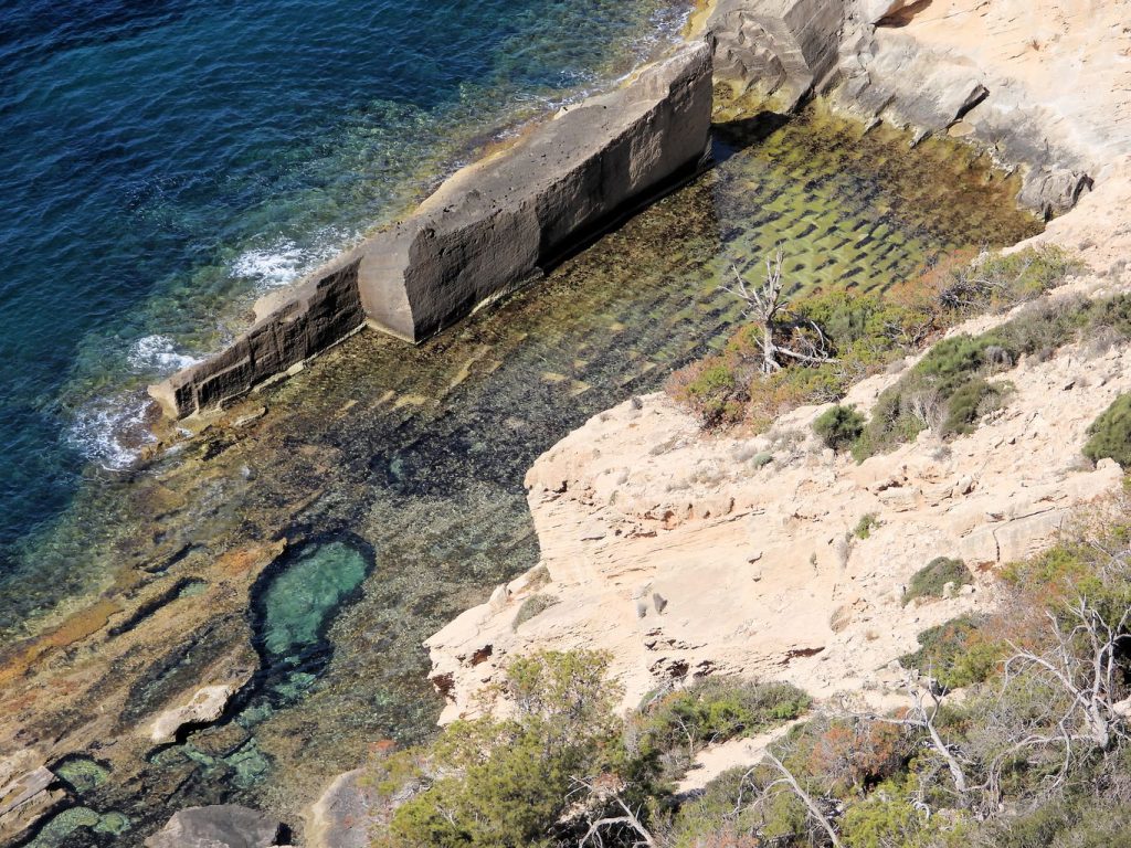
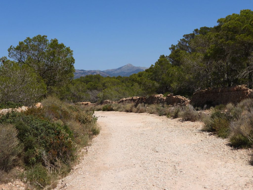
The route continues passing through various military sites, bases of the large cannons of the coastal battery and underground shelters.
© This photo by mymallorca.blog is licensed under CC BY-NC-ND 4.0
© This photo by mymallorca.blog is licensed under CC BY-NC-ND 4.0
© This photo by mymallorca.blog is licensed under CC BY-NC-ND 4.0
© This photo by mymallorca.blog is licensed under CC BY-NC-ND 4.0
© This photo by mymallorca.blog is licensed under CC BY-NC-ND 4.0
© This photo by mymallorca.blog is licensed under CC BY-NC-ND 4.0
© This photo by mymallorca.blog is licensed under CC BY-NC-ND 4.0
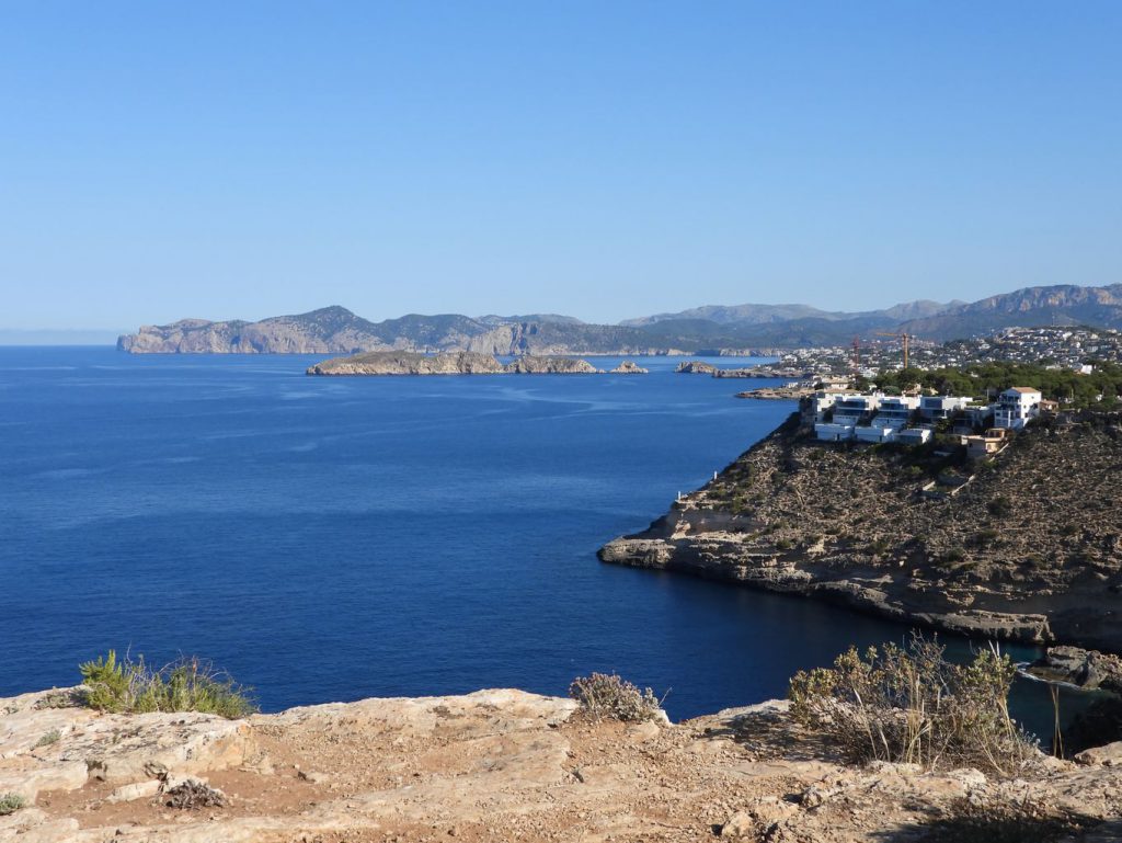
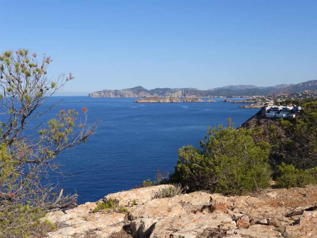
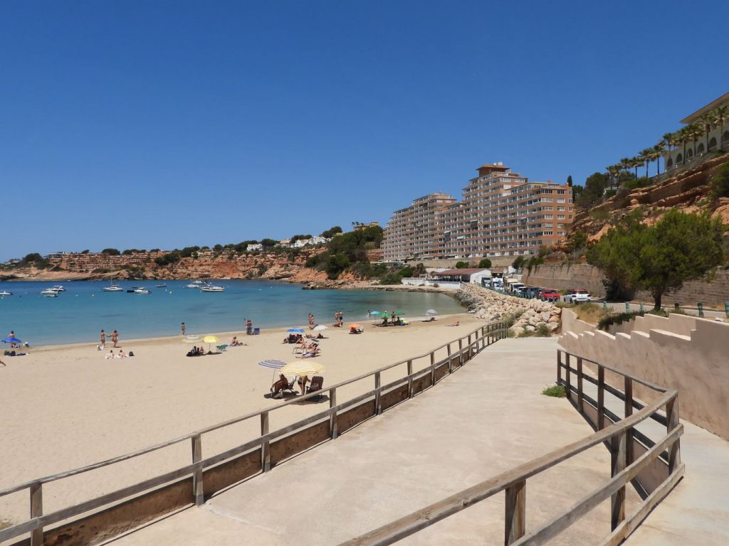
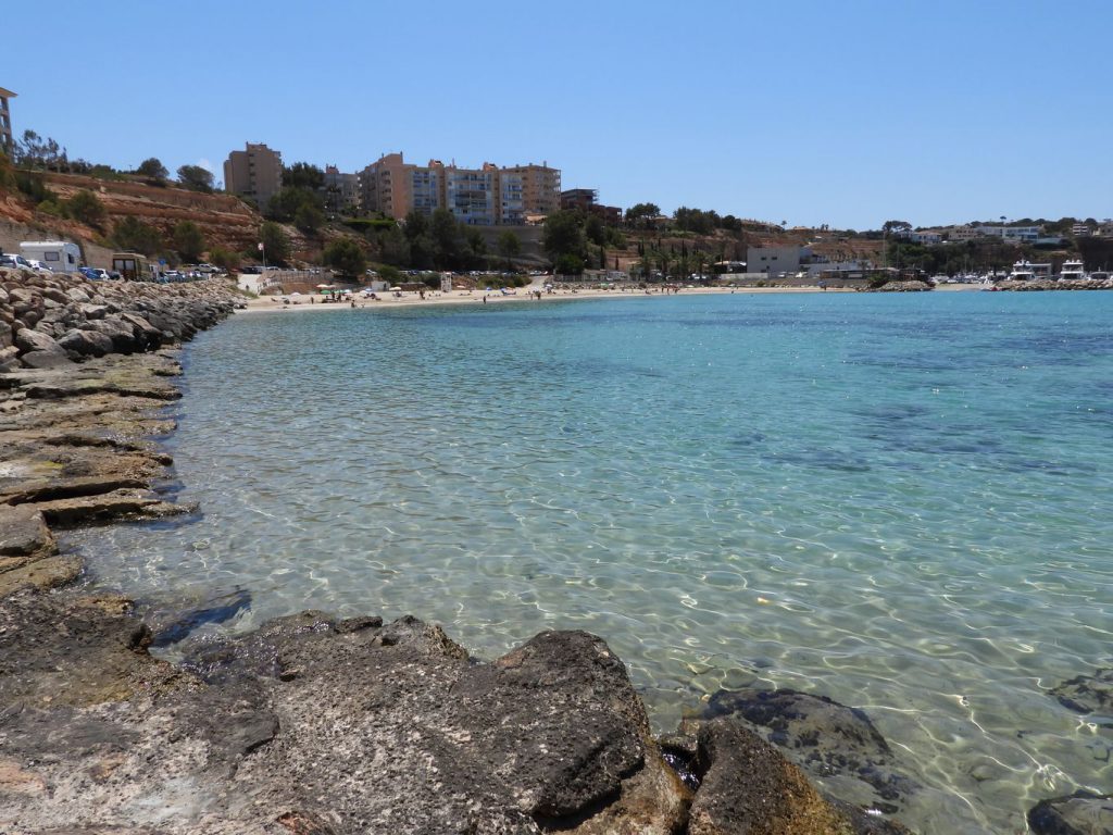
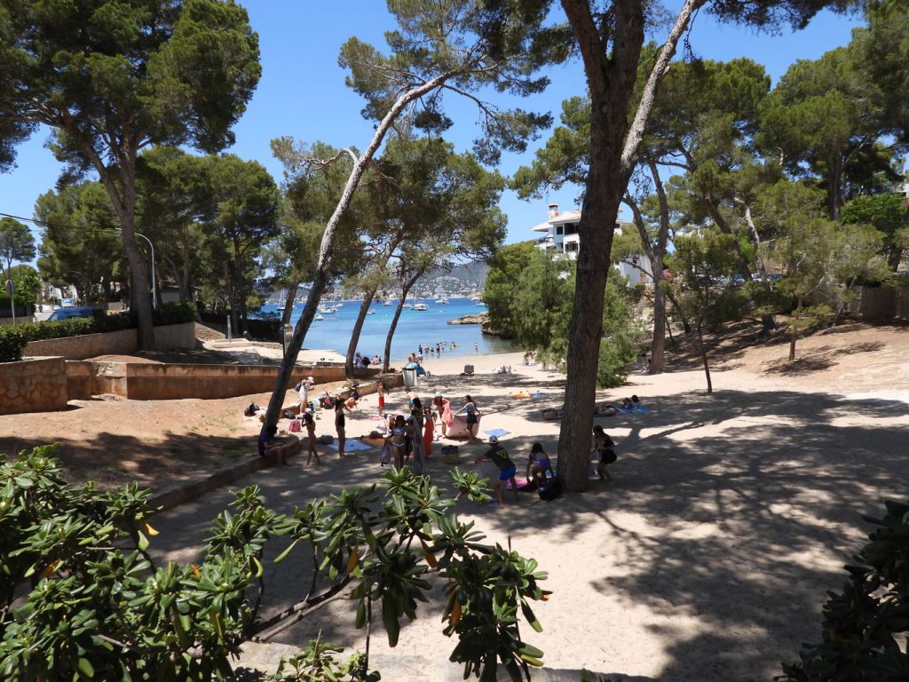
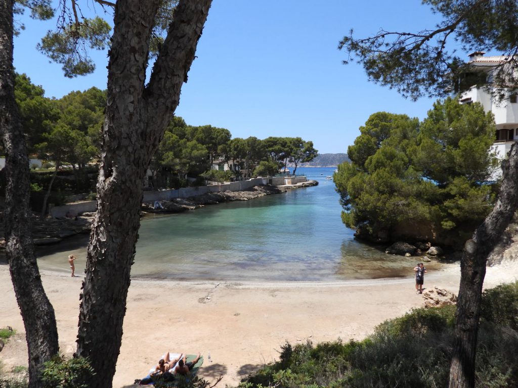
At this point you can no longer continue walking along the coast due to the continuous succession of chalets and buildings, so the rest of the route was done by car, stopping at the most emblematic places.
© This photo by mymallorca.blog is licensed under CC BY-NC-ND 4.0
© This photo by mymallorca.blog is licensed under CC BY-NC-ND 4.0
© This photo by mymallorca.blog is licensed under CC BY-NC-ND 4.0
© This photo by mymallorca.blog is licensed under CC BY-NC-ND 4.0
© This photo by mymallorca.blog is licensed under CC BY-NC-ND 4.0
© This photo by mymallorca.blog is licensed under CC BY-NC-ND 4.0
© This photo by mymallorca.blog is licensed under CC BY-NC-ND 4.0
© This photo by mymallorca.blog is licensed under CC BY-NC-ND 4.0